Sakaeo Province in Central Thailand
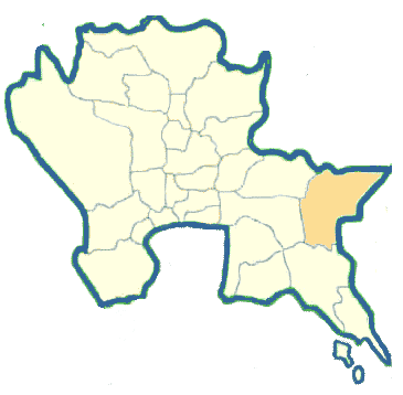
Sakaeo is a newly established province upgraded from Amphoe Sakaeo of Prachin Buri Province in 1993. Sakaeo is an eastern boundary province, located 220 kilometers from Bangkok. It is administratively divided into 6 Amphoes: Muang, Watthana Nakhon, ranyaprathet, Ta Phraya, Wang Nam Yen and Khlong Hat.
What to see and what to do in Sakaeo?
Sa Kaeo, Sa Khwan : These two ponds are located 1.5 kilometers from town. The water in both ponds is regarded as sacred water. It has been used as a part of the water for the coronation ceremony.
Pang Sida National Park was established as a National Park on February 24, 1982, occupying an approximate area of 844 square kilometers or 527,500 rai. To access the park, one can travel from Sa Kaeo Market through a branch road for a distance of 27 kilometers. Tourist attractions within the national park include two beautiful waterfalls. They are Pang Sida and Khwae Makha, 700 meters and 3 kilometers away from the park office respectively.
Accommodation in the park may be available.
Aranya Prathet, a district on the Thai-Cambodian border is 70 kilometers away from Sa Kaeo. Ban Khlong Luk, a village with a marketplace where Cambodian products are sold is 6 kilometers away from Sa Kaeo.