
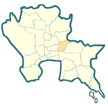
Nakhon Nayok Province in Central Thailand
Nakhon Nayok is an ancient town over 900 years old. It was established in the Dvaravati period. However, the name Nakhon Nayok was just recently found in the records as an eastern fort town of Ayutthaya during the reign of King U Thong. Nakhon Nayok is 106 kilometers from Bangkok by the highway along Khlong Rangsit. The distance is 137 kilometers by Highway No. 33 (Suwannason Road). It occupies 2,132 square kilometers and is administratively divided into four Amphoes: Muang, Ban Na, Ongkharak, and Pak Phli.
What to see and what to do in Nakhon Nayok?
Sarika Waterfall is located in Tambon Sarika, Amphoe Muang,15 kilometers east of town along Suwannason Road. This road ends at the waterfall which is very large in size. It is a nine-levelled cliff, each level of which has a reservoir storing large quantities of water during the rainy season but no water at all during the dry season.
Nang Rong Waterfall is located in Tambon Hin Tang, Amphoe Muang, 20 kms east of town along Suwannason Road. Branch off on the right-hand side at Km.12 for another seven kilometers where the road ends. The fall consists of many levels each of which has a small reservoir suitable for swimming.
Wang Takhrai belongs to the Chumphot-Phanthip Foundation and is a botanical garden with a tremendous number of decorative plants on 1,400 rai. One can drive thru the area on the internal roads for a better view.
Heo Narok Waterfall, located in Amphoe Pak Phli is under the responsibility of Khao Yai National Park Protection Center. It is accessible via Bangkok Don Muang-Hin Kong highway then branch off to the right for 22 kilometers passing Nakhon Nayok township. Branch off again on the left on Highway No.33 to Noen Hom Intersection. Or from Bangkok one can go to Rangsit and go by an old road to the Nakhon Nayok-Noen Hom intersection. Then one enters Highway No.3077 to Heo Narok waterfall. The waterfall cascades from a 200 meters cliff.